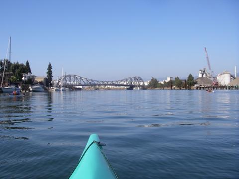
Location: Launch from Grand Ave in Alameda
Date: October 29, 2006
Type: WSK unofficial Trip
Stats: 15.5 miles, 4.1 hours paddling time + 35 minute lunch
Click on the picture below to view an interactive track map. You can pan and zoom the interactive map to see details of different parts of the trip. It may take a few moments for the interactive map to load once you click below.
Interactive Google Map of the track log