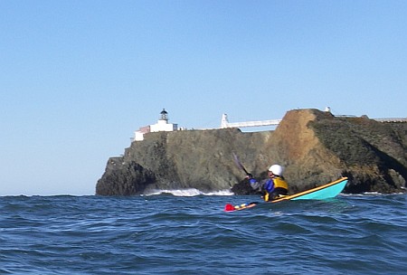
Location: Launch from Horseshoe Cove, paddle to Point Bonita, back to Angel Island. After lunch on Angel Island (West Garrison), return to Yellow Bluff for anticipated tide rip and then back to Horseshoe Cove
Date: December 24, 2007
Type: WSK Trip
Stats: 12.6 miles, 3.4 hours paddling time, plus 1.2 hours at Yellow Bluff
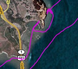
Click on the picture below to view an interactive track map. You can pan and zoom the interactive map to see details of different parts of the trip. It may take a few moments for the interactive map to load once you click below.
Interactive Google Map of the track log